


Precision from Above. Insight on the Ground
Delivering tailored, cutting-edge drone technology to boost your operational efficiency.
Call Now - 043 881 0266
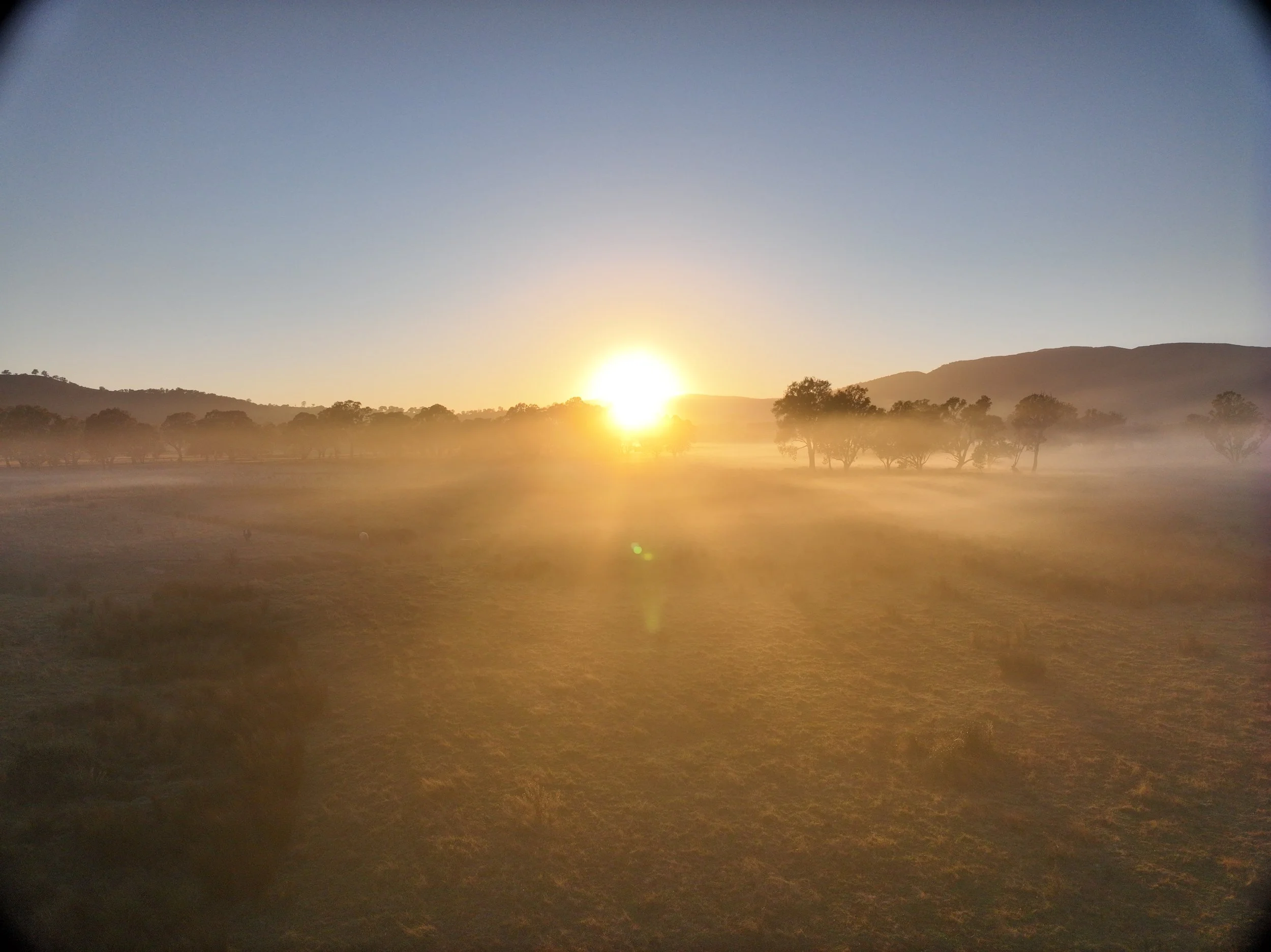
Based in Melbourne and servicing all of Victoria, Dingo Over Land Aerial Services delivers high-quality aerial photography, videography, and survey solutions using cutting-edge drone technology.
We’re part of a growing movement redefining how inspections and surveys are done—saving time, improving safety, and capturing data with pinpoint accuracy. Whether it’s a complex roof inspection or precise geospatial mapping, we work closely with every client to ensure results are tailored, efficient, and visually impactful.
Driven by a passion for continuous improvement and industry innovation, we aim to elevate every project with a fresh perspective—literally and creatively. If you're looking for a reliable aerial partner who values accuracy, creativity, and a hands-on approach, you’ve come to the right place.
Industry-Ready Drone Solutions
Elevate your property or event with stunning aerial photography that captures every detail from a unique perspective, creating eye-catching visuals designed to impress and engage your audience.
Showcase your property or event with breathtaking aerial videography, capturing dynamic and cinematic footage from above to create a stunning visual experience that engages and inspires your audience.
Aerial Survey
Take your online presence to the next level with our top-notch photogrammetry services. We use cutting-edge aerial imaging technology to create stunning 3D models, interactive maps, and immersive visual content viewing your property, products, or locations in a whole new way.
Want to learn more about our drone experts and how they can help you with your aerial needs? Schedule a consultation today and let’s get started! Our team is here to provide you with the best service and guidance for all your drone needs.